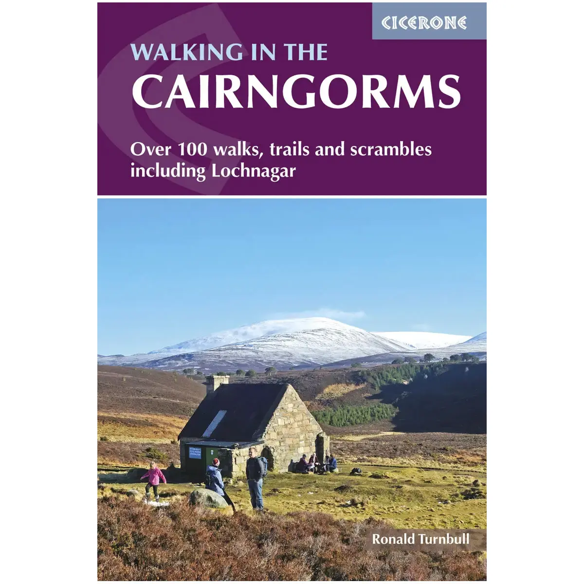
1 / 3
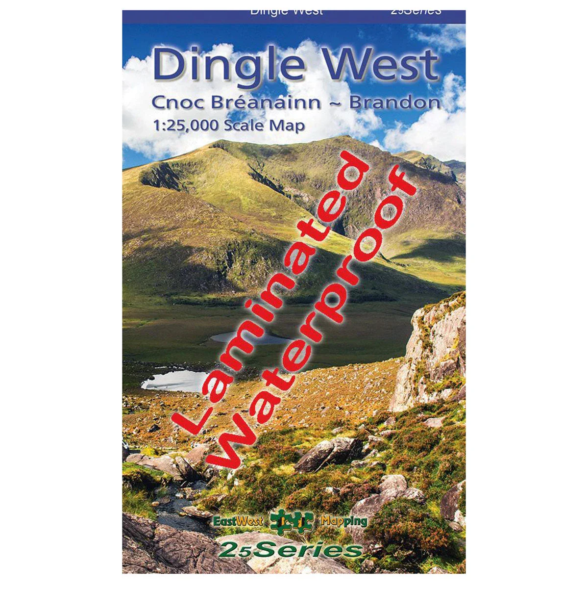
Waterproof Dingle West 1:25k Map
Explore the western end of the Dingle peninsula with this detailed, waterproof, laminated map at a 1:25,000 scale.
Features
- Waterproof and laminated for durability
- Covers Dunquin to Conor Pass, including Mount Brandon
- 5 metre contour interval for precise navigation
- Signposted walking trails depicted
- Detailed topographic information with placenames and heritage sites
$27.91
Waterproof Dingle West 1:25k Map—
$27.91
Product Information
Product Information
Shipping & Returns
Shipping & Returns
Description
Explore the western end of the Dingle peninsula with this detailed, waterproof, laminated map at a 1:25,000 scale.
Features
- Waterproof and laminated for durability
- Covers Dunquin to Conor Pass, including Mount Brandon
- 5 metre contour interval for precise navigation
- Signposted walking trails depicted
- Detailed topographic information with placenames and heritage sites